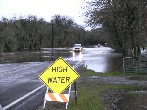
Floodplain Information
Floodplain Management in Benton County

Benton County has approximately 57,000 acres of land located within its floodplains and nearly 3,200 individual parcels that are partially or entirely located within a floodplain. This page contains information and links about floodplain development, local requirements as well as flood hazard and safety information, real-time river gage information, and more.
As a result of Benton County’s efforts, county property owners have been receiving a discounted rate on their flood insurance premiums for the past 20 years.
Benton County Floodplain Program
Benton County’s floodplain program is designed to help ensure decreased flood hazard risk to county residents and structures, improved communication regarding flood risks and natural beneficial floodplain functions, and continued provision of flood data. As a result of Benton County’s efforts, county property owners have been receiving a discounted rate on their flood insurance premiums for the past 20 years. The following are a few of the services Benton County provides with regard to floodplain records and information:
- Maintain records of all development activity approved in the floodplain. Benton County does this through approval of Floodplain Development Permits. These records document the county’s commitment to responsible floodplain management.
- Provide floodplain and flood hazard related information. Typical types of information available at the Benton County Community Development office include:
- The location of a property in relation to the floodplain shown on the current and historic Flood Insurance Rate Maps (FIRM) for the county;
- Additional flood insurance data for a site, such as the flood zone designation shown on the FIRM panel and, if available, an approximate base flood elevation;
- Land use and building code regulations that apply to properties in a floodplain;
- A copy of FIRMs showing flood hazard boundaries and, when available, mapped floodway locations;
- Maintain a record of all elevation certificates submitted to the Community Development office. Elevation certificates are required for all new construction and are typically available for structures constructed or improved since 2002. Additional floodplain worksheets are sometimes available for structures constructed as early as the late 1980s.
- Provide outreach information to property owners whose land is in or near a floodplain. The county sends out a yearly Flood Facts mailing identifying high flood risk areas and providing reminders about development requirements in floodplains, information about how to prepare for and respond to flood events, helpful contact information, significant flood events that have occurred in the past, benefits of floodplain functions, and actions that help reduce damage caused by flooding.
- Provide information regarding flood mitigation options. The county Floodplain Manager can provide information about possible retrofitting options that can be helpful to reduce the risk of structural damage from flood events and potentially reduce flood insurance premiums.
